
Sector 01 · Wayfarer Reach
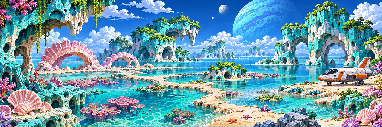
Pelagia
Tidal archipelago
Pink shell beaches and coral terraces emerge as the twin moons draw out the tide. Sheltered approach · starter thrusters.
- Sector
- 01 · Wayfarer Reach
- Climate
- Maritime
- Surface
- 23°C
- From Verdara
- 1.9 ly
- Approach
- Starter thrusters
- Native wildlife
- Tideclasp
- Rich in
- Biomass
Planetary investigation
The missing tide bell
An island bell rings underwater each time the smallest moon sets. Triangulate its voice across the reef.
- Survey station
- Hydrophone
- Mineral
- Pearlstone ledge
- Flora
- Saltglass kelp
Expedition briefing
Planning a landing on Pelagia
Getting there
Pelagia is 1.9 light-years from Verdara Prime, in the Wayfarer Reach. The Kestrel’s starter thrusters are enough to get there. A direct flight from Verdara with no upgrades fitted burns about 10 fuel, wears 7 points off the hull, and uses 4 oxygen.
The Night Ferry wreck in this sector is Thistledown. Contact its crawler from Navigation while in orbit.
On the surface
Each ordinary mining action at the landing site returns 4 ferrite, 1 prism crystal and 1 flux cell, and each gathering trip collects 8 biomass. Pelagia is rich in biomass, so it is a good stop when you are short. Look for the pearlstone ledge and saltglass kelp, and bring the hydrophone readings home for the investigation. The resource guide covers what each material builds.
Landing-site records
Scan the landing site to log three records. Each one is filed in your codex and gives the expedition something useful.
- Record 01
The missing tide bell
The relay cache contains 3 flux cells.
- Record 02
Saltglass kelp
A viable specimen yields 6 biomass.
- Record 03
Paired moon dial
The cache restores 15 fuel.
Six regions · three observations each
Pelagia backcountry regions
Take the trail junction from the landing site to reach them. Each region asks one question; answer it with three field observations, the relay, and the mineral deposit, then publish a study aboard the Kestrel.
- Region 01
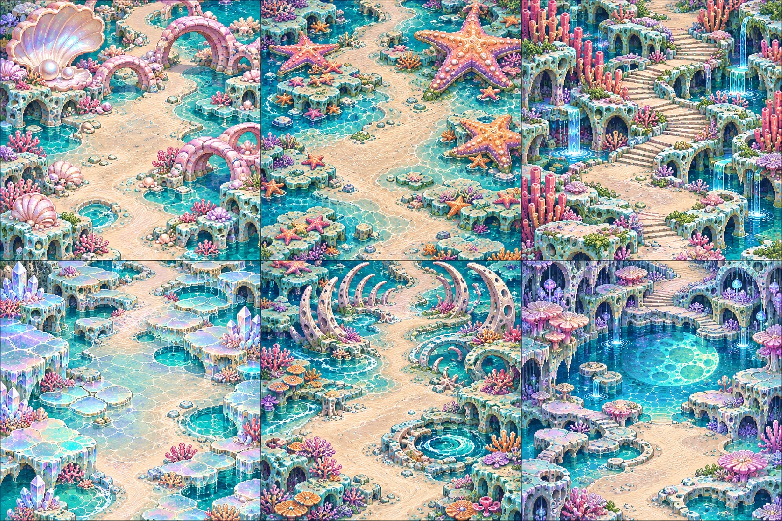
Pearlstrand
A bell rings below the low-water mark.
- Bell mouth A bell rings below the low-water mark at Pearlstrand.
- Spring vent Fresh water beads over the bell mouth.
- Low-water notch The flow persists at low tide.
“We heard the bell through the hull before we saw an island. I mistook it for someone knocking.”
- Region 02
Starfish Shoals
Starshells breathe in unison.
- Shell bed Starshells breathe in unison at Starfish Shoals.
- Breathing siphon The shells open before water reaches them.
- Moon gauge The interval shifts with moonrise.
“The cook counted shells instead of minutes. Her tide tables were the only ones that never ran late.”
- Region 03
Coral Stair
Coral shelves lean landward.
- Broken terrace Coral shelves lean landward at Coral Stair.
- Coral lip Each terrace is chipped on its seaward edge.
- Drift pile Fragments lie inland of the shelf.
“I put the depth gauge on the third stair. By morning the sea had moved the stair.”
- Region 04
Saltglass Lagoon
A freshwater lens floats above the salt.
- Lens well A freshwater lens floats above the salt at Saltglass Lagoon.
- Upper tap The top of the well tastes fresh.
- Deep sampler A deep sample is dense with salt.
“Six flasks of fresh water and a promise to leave the seventh for the crew behind us.”
- Region 05
Tidekeeper Reef
A chain of reefs muffles the surf.
- Reef gap A chain of reefs muffles the surf at Tidekeeper Reef.
- Wave stake Wave crests drop behind living coral.
- Dead coral Dead sections leave a gap in the shelter.
“Put a hand on the reef and you can feel the breakers spend themselves before they reach the beach.”
- Region 06
The Moon Basin
Two flood lines cross in the basin.
- Crossed floodlines Two flood lines cross in the basin at The Moon Basin.
- Peak recorder Flood peaks alternate in height.
- Twin moonpost Each peak tracks a different moon.
“Someone carved two moons where a clock face should be. After a week here I understood why.”
Sector 01 · Wayfarer Reach
Other worlds in the Wayfarer Reach
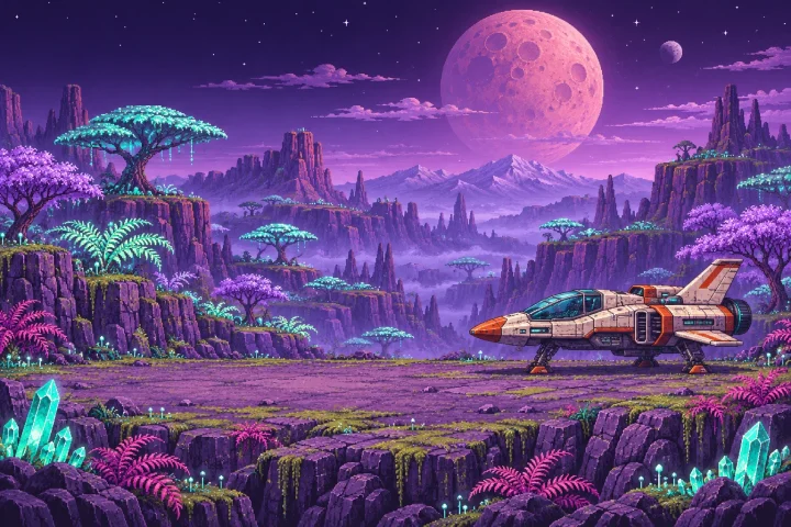 TemperateSignal 01
Verdara Prime
Lush terrestrial · 18°C · Home orbit
A luminous wilderness of glassroot forests, ancient gardens, and listening stones.
Starter thrusters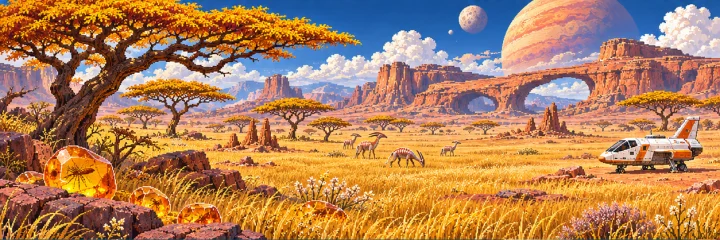 Dry grassland
Aurelis
Amber savanna · 31°C · 1.9 ly
Gold grass surrounds a ring of crownwood trees. Their shadows still point to the wells of an abandoned settlement.
Starter thrusters